Village Hall events
Please note that these maps are just freehand sketches with a little digital enhancement.  I am not a cartographer by any stretch of the imagination, so the scale is not consistent.
I have deliberately avoided copying published maps in creating these sketches so that the problem of copyright is avoided.
Users are welcome to print these maps for personal use, but any commercial use, or copying to another website requires permission. 

Garsdale

Church and Chapel events

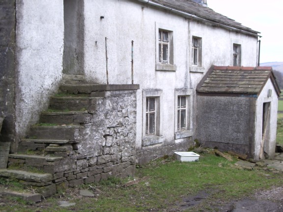
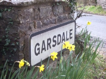
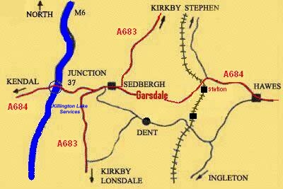
Garsdale is not a village, but a valley through which runs the A684 road from Sedbergh to Hawes.  
 A mile in the centre is roadsigned "Garsdale" and includes "The Street".

The other centre of population is at Garsdale Head, still known as "Hawes Junction"
after the Wensleydale branch from the Settle-Carlisle railway.

To the North is Baugh Fell with its tarns.  To the South is Rise Hill, then Dentdale. 
Garsdale's River Clough has its source in Grisedale: "The Dale that Died"

To locals, the whole six miles from Garsdale Foot to Mount Zion Chapel is just Garsdale.

Parish Council


Business links


Houses


Home Page

Weather


                Lower Garsdale

Click on each map to view full-size.


    Upper Garsdale


               Middle Garsdale

                                                                                                             Click here for a commercial map ("Streetmap.co.uk")